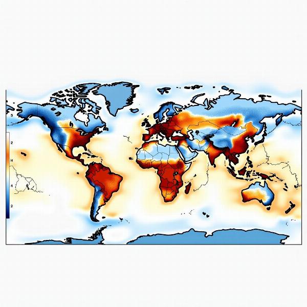
Isotherms, represented as समताप रेखा (samtaap rekha) in Hindi, are crucial for understanding weather patterns and climate. This guide explores the meaning, significance, and applications of isotherms, providing a clear understanding of their role in meteorology and geography. Whether you’re a student, a weather enthusiast, or simply curious about the term, this article offers valuable insights into the world of isotherms.
What Does Isotherm Mean?
Isotherms are lines on a map connecting points with the same temperature at a given time or over a given period. They provide a visual representation of temperature distribution across a geographical area. The term “isotherm” comes from the Greek words “isos” (equal) and “therme” (heat). Understanding isotherms helps us analyze temperature variations and their impact on various natural phenomena.
 Example of an Isotherm Map
The Significance of Isotherms in Meteorology and Geography
Isotherms play a crucial role in both meteorology and geography. They help meteorologists forecast weather patterns, track climate change, and understand the influence of temperature on various atmospheric processes. In geography, isotherms assist in understanding the distribution of flora and fauna, determining climate zones, and studying the impact of temperature on human activities.
Different Types of Isotherms
Several types of isotherms exist, each serving a specific purpose:
- Daily isotherms: Show temperature variations over a 24-hour period.
- Monthly isotherms: Depict average temperatures for a given month.
- Annual isotherms: Represent average temperatures over a year.
How Isotherms are Used in Weather Forecasting
Isotherms are essential tools for weather forecasting. By analyzing the patterns and shifts of isotherms, meteorologists can predict temperature changes, identify potential cold or heat waves, and anticipate the movement of air masses. This information is vital for providing accurate weather forecasts and issuing timely warnings about extreme weather events.
Isotherms and Climate Change
Isotherms provide valuable data for tracking and understanding climate change. By comparing isotherm maps over different time periods, scientists can observe long-term temperature trends and assess the impact of global warming on various regions. This information is crucial for developing strategies to mitigate the effects of climate change.
Understanding Isotherm Patterns
Isotherms often follow predictable patterns influenced by factors like latitude, altitude, proximity to water bodies, and prevailing wind patterns. Recognizing these patterns is crucial for interpreting isotherm maps effectively and gaining insights into the factors that influence temperature distribution.
FAQs
- What is the difference between isotherms and isobars? Isotherms connect points of equal temperature, while isobars connect points of equal atmospheric pressure.
- How are isotherms plotted on a map? Isotherms are plotted by interpolating temperature data collected from various weather stations.
- Why are isotherms important? Isotherms help us understand temperature distribution, forecast weather, and track climate change.
- What do closely spaced isotherms indicate? Closely spaced isotherms indicate a steep temperature gradient, meaning a rapid change in temperature over a short distance.
- What do widely spaced isotherms indicate? Widely spaced isotherms represent a gentle temperature gradient, indicating a gradual change in temperature over a larger distance.
- How do isotherms help in agriculture? Isotherms help farmers determine suitable crops for different regions based on temperature requirements.
- How are isotherms used in studying ocean currents? Isotherms are used to track the movement of warm and cold ocean currents.
Conclusion
Understanding isotherms, or समताप रेखा (samtaap rekha) in Hindi, is fundamental to grasping weather patterns and climate. From daily forecasts to long-term climate studies, isotherms provide valuable insights into the distribution and variation of temperature across our planet. By analyzing isotherm maps and understanding their underlying principles, we can better appreciate the complex interplay of factors that shape our climate and weather.
Meaning-Hindi.in provides expert translation services for businesses, legal documents, technical manuals, websites, and academic materials. We specialize in Hindi and various other languages, ensuring accurate and culturally sensitive translations. Whether you need business document translation or website localization, our expertise covers a wide range of fields. Contact us for high-quality translation services that meet your specific needs. Email: [email protected], Phone: +91 11-4502-7584. Get in touch with Meaning-Hindi.in today!